Stonecreek Estates: A Young Neighborhood Built on Old Texas Ground
By Stonecreek Estates Admin · August 6, 2026 · Updated August 12, 2026 · 10 min read
All right, class, put away the textbook. Today's Texas history lesson begins much closer to home—possibly just beyond your back fence.
Stonecreek Estates may look brand-new in the grand sweep of Texas history. Most of our streets, homes and amenities appeared only within the last decade. But the land beneath the neighborhood is anything but new. It has been part of an Indigenous landscape, an early Texas land survey, cattle and farming country, a regional water system and, eventually, a modern community.
And running through the middle of that story is Dry Creek—a waterway with a name that is, frankly, not doing a very good job of describing what residents actually see.
So let us answer the questions any curious neighbor might ask: What was here before the houses? Who was Wiley Martin? Where does Dry Creek go? What does it have to do with one of Texas's largest power plants? And how did several hundred acres of Fort Bend countryside become Stonecreek Estates?
The story starts long before the entrance monument.
Chapter One: Before There Was a Texas
Long before there was a Richmond, a Rosenberg or even a State of Texas, Indigenous peoples lived and traveled throughout the Brazos River region. The Karankawa are among the peoples historically associated with the coastal plains and river bottoms of this part of Texas.
The land around today's Stonecreek would have looked very different. Instead of rooftops and privacy fences, imagine broad coastal prairie broken by creeks, lowlands and stands of vegetation. The waterways supported fish, shellfish, birds and other wildlife. They also created natural travel corridors across the prairie.
We do not have archaeological evidence proving that a particular village stood within the exact boundaries of Stonecreek Estates. Good history teachers do not fill gaps in the evidence with dramatic guesses, no matter how much better those guesses might look on a movie poster.
What we can say is that this neighborhood sits within a much older cultural and natural landscape. This was not empty ground waiting for someone to discover it. People had known, used and traveled through the Brazos region for generations before European and American settlers arrived.
Chapter Two: The Name Beneath the Neighborhood
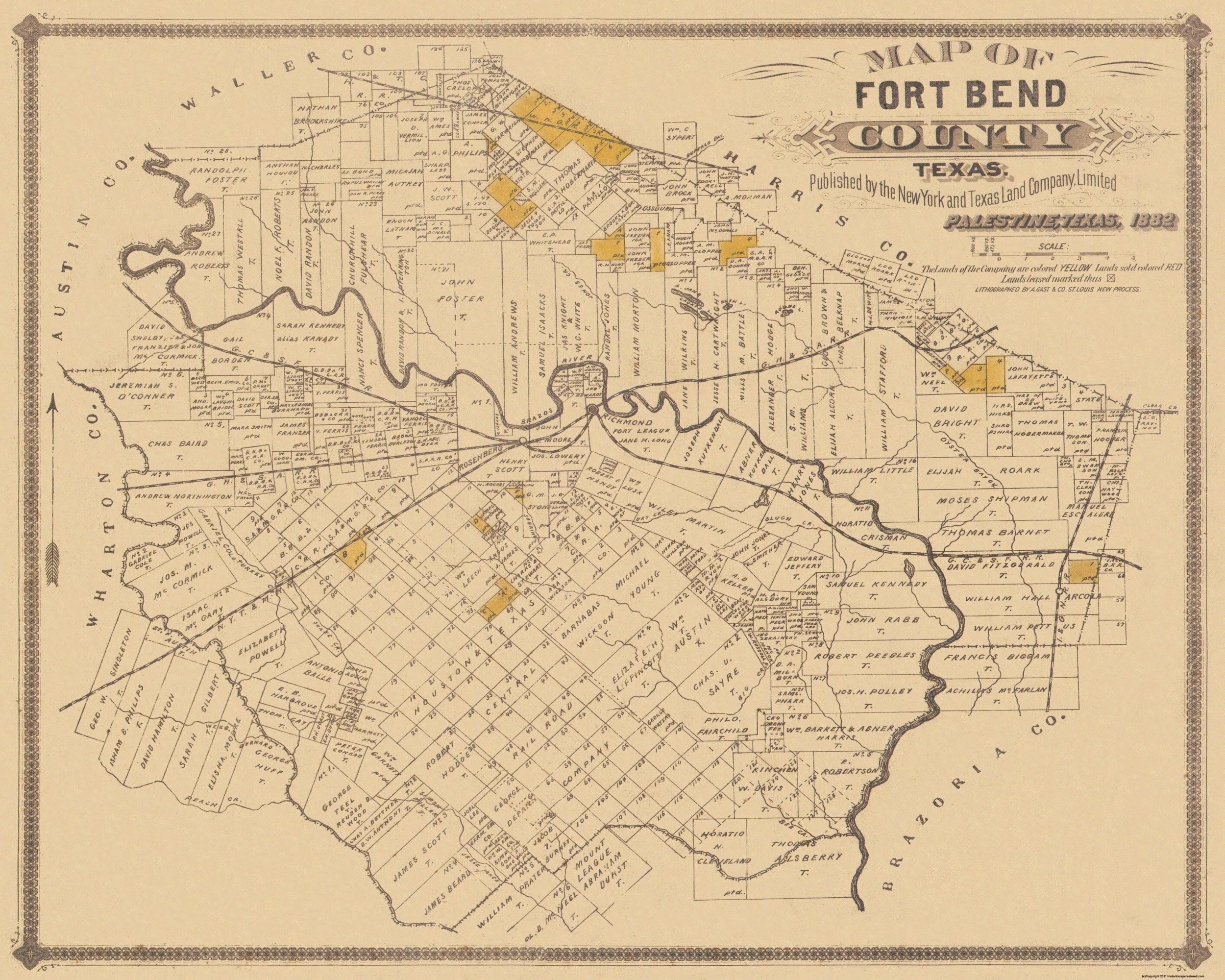
Now we arrive at a name that appears on the official plats for Stonecreek Estates: the Wiley Martin Survey, Abstract 56.
The man was more commonly known as Wyly Martin, although land records often spell his first name Wiley. Texas history is full of alternate spellings, uncertain dates and men who apparently never imagined future researchers would like their paperwork to match.
Martin was born in Georgia in 1776. He served in the War of 1812, came to Mexican Texas during the 1820s and became part of Stephen F. Austin's colony. He served as an alcalde, an office that combined duties we might now associate with a mayor and a local judge.
Martin also participated in the political conventions that helped move Texas toward revolution. In April 1836, he commanded a small company assigned to watch several Brazos River crossings near present-day Richmond while Santa Anna's much larger army advanced through the area.
After the revolution, Martin served as Fort Bend County's chief justice, practiced law and represented the region in the Congress of the Republic of Texas.
Because much of Stonecreek lies inside the historic survey bearing Martin's name, our neighborhood has a direct legal connection to this early chapter of Texas history. That does not prove Martin's cabin stood where one of our houses stands today. Historic surveys often covered enormous tracts, and owning or receiving land was not the same thing as living on every acre of it.
Still, long before anyone named a street Moonstone or Granite Peak, this ground was being identified on Texas land records by Martin's name.
Chapter Three: Peter Martin and the Story Behind the Famous Names
If we stopped with Wyly Martin, we would tell only the part of Texas history most likely to appear on a monument.
Peter Martin was an enslaved Black man brought to Texas by Wyly Martin during the 1820s. Historical accounts report that Peter helped drive approximately 100 cattle into the colony. During the Texas Revolution, he served as Martin's aide and transported military supplies for Texian forces.
Wyly Martin later petitioned the Republic of Texas to allow Peter to be emancipated. Peter ultimately gained his freedom and became associated with the early ranching history of Fort Bend County. He is remembered as an important early African American cowboy and local historical figure.
Peter's story reminds us that early Fort Bend County was shaped not only by the settlers whose names were placed on surveys, but also by enslaved Black Texans whose labor built much of the region's agricultural wealth.
Texas history is rarely a neat row of heroic portraits. The real story is larger, more complicated and much more human.
Chapter Four: When This Was Farm and Ranch Country
For generations, the land surrounding Richmond and Rosenberg remained mostly agricultural. Cattle, cotton and corn were important, and rice later became a major part of Fort Bend County's economy.
To understand why, look at the ground beneath your shoes. This part of Texas is broad, flat coastal prairie with heavy clay soil. Water does not always hurry away politely after a storm. It collects, spreads across low areas and follows creeks and sloughs toward the Brazos River system.
Farmers eventually created canals and pumping systems to carry Brazos River water across thousands of acres of rice fields. The countryside became a working landscape shaped by both natural waterways and human engineering.
Dry Creek was part of that landscape long before Stonecreek Estates existed.
Despite the name, Dry Creek was never under a legal obligation to remain dry. Historically, its upper reaches were intermittent, meaning the amount of flowing water changed with rainfall and seasonal conditions. Today, residents often see water in it because the creek still receives natural runoff, along with water moving from streets, rooftops, storm drains and neighborhood detention areas.
But here is the part that turns an ordinary neighborhood creek into one of the best "Did you know?" stories in Fort Bend County: the water does not simply disappear beyond the subdivision.
It travels somewhere important.
Chapter Five: Follow the Water
Dry Creek continues southeast from the Stonecreek area and eventually empties into Smithers Lake, near Thompsons.
Smithers Lake is not simply another pretty patch of blue on the map. It is the cooling-water reservoir for the W. A. Parish Generating Station, operated by NRG Energy.
The lake was developed during the 1950s to support electric generation. Construction began in 1956, and the reservoir started holding water in 1957. Smithers Lake receives runoff from the Dry Creek watershed and additional water transported from the Brazos River through the historic Richmond-area irrigation-canal system.
The generating station draws water from the lake for cooling operations and returns it through a dedicated system.
Let us pause for the important distinction, because this is where the neighborhood legend can outrun the evidence. The creek inside Stonecreek was not constructed as a power-plant cooling canal, and heated plant water is not being pumped backward through the neighborhood.
The actual connection flows in the other direction:
Stonecreek Estates → Dry Creek → Smithers Lake → W. A. Parish Generating Station
Rainfall and runoff moving through our neighborhood become part of the water collected in the reservoir supporting the plant's cooling system. Dry Creek therefore connects Stonecreek to three major periods in Fort Bend County history: the natural prairie watershed, the agricultural and rice-growing era, and the industrial system that helped supply electricity to the Houston region.
That is an impressive résumé for the creek beside the walking trail.
Chapter Six: The Arrival of Stonecreek Estates
After generations as prairie, farm and ranch country, the land entered a new era in 2015, when the first section of Stonecreek Estates was formally planned. Fort Bend County processed the original plat in early 2016.
Section One covered approximately 76 acres and proposed 185 residential lots. The recorded owner was Dry Creek (Houston) ASLI VII, LLC—a name showing just how central the creek was to the property's identity before the neighborhood was built.
More sections followed. By 2020, the broader community plan covered approximately 502.5 acres, including homesites, roads, detention areas, open space and community amenities.
In 2021, plans reviewed by the City of Rosenberg included approximately 400 additional homes, a recreation center, pool, playground, parkland and possible walking and biking trails near the creek. Builders including Perry Homes, Ashton Woods and Toll Brothers helped turn the plans into the community residents know today.
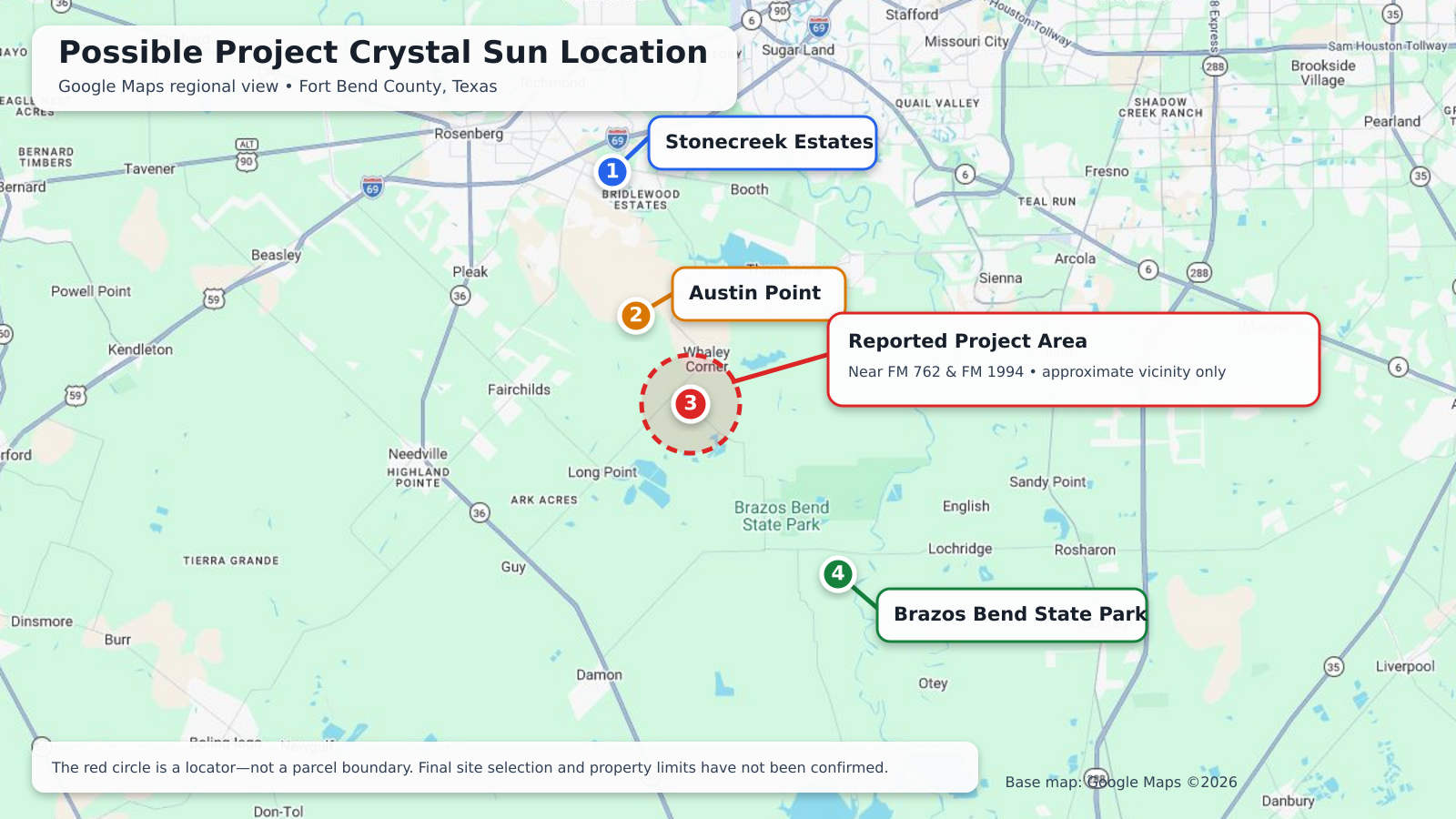
Stonecreek sits in the Richmond–Rosenberg area. Most residents and builders use a Richmond mailing address, while Rosenberg has played an important role in reviewing development plans. Like many things in Texas, the geography makes perfect sense once you agree not to stare at it too long.
Because most of the neighborhood is so new, the people living here today are part of Stonecreek's first real generation. The traditions residents create now—the events, friendships, stories and neighborhood rituals—may one day become the things future families assume have "always" happened here.
Chapter Seven: What Is in a Name?
We have not found a recorded statement from the developer declaring exactly how the name Stonecreek was chosen. Still, the evidence provides a strong explanation.
The "Creek" almost certainly refers to Dry Creek, the actual waterway crossing the property. Even the original development ownership entity carried the Dry Creek name.
The "Stone" appears to reflect the stone-and-mineral theme used throughout the community:
- Alabaster Estate
- Diamond Dust
- Emerald Cove
- Granite Peak
- Moonstone
- Ruby Creek
- Sapphire Creek
- Turquoise Hill
Put the two together and the name becomes a blend of old and new: a genuine creek that shaped the land and a stone theme created for the modern neighborhood.
The creek is not landscaping installed to match the entrance sign. The entrance sign came later.
Chapter Eight: The Neighborhood We Know Today
Today, Stonecreek Estates is home to hundreds of families. It has modern homes, swimming pools, playgrounds, green spaces, lakes and walking routes. Its daily soundtrack includes school traffic, delivery trucks, barking dogs and at least one lawn mower starting earlier than the rest of us consider reasonable.
Yet the older landscape has not vanished completely.
Dry Creek still moves through the community. Birds, turtles, frogs and other wildlife continue to use the creek corridor. After a heavy rain, residents can watch water move through detention areas and downstream, following a route the land established long before the first street was paved.
That is why the creek deserves to be treasured—not because the neighborhood needs another lecture, but because it gives Stonecreek a sense of place. Many new developments could exist almost anywhere. Our creek connects this community to the Brazos prairie, early Texas history, Fort Bend agriculture and a regional power system miles downstream.
Taking pride in it can be wonderfully ordinary: enjoying the trail, watching the wildlife, sharing its history with our children and treating the waterway as part of the neighborhood rather than leftover land behind the houses.
Today's Lesson
If this were a classroom, this is the part the teacher would underline on the board.
Stonecreek Estates is a young neighborhood built on old Texas ground.
The land was part of an Indigenous landscape before it became part of the Wiley Martin Survey. Its history includes Wyly Martin, the Texas Revolution and Peter Martin, whose life connects the story to Black ranching history and the realities of slavery in early Fort Bend County. For generations, the surrounding countryside supported cattle and crops. Dry Creek crossed that landscape, later feeding Smithers Lake and the cooling-water system of the W. A. Parish Generating Station.
Then came the surveyors, plats, streets and homes of Stonecreek Estates.
Our neighborhood is new enough that much of its community history has not happened yet. We are living in the first chapters. But the creek is a reminder that the story did not begin with us.
Learn more about the neighborhood as it stands today on our About page, or check the FAQ for answers to the practical questions new and prospective residents ask most often.
The next time you pass Dry Creek, look at it differently. That waterway has crossed prairie, watched farms rise and fade, become connected to one of the region's largest power systems and given a modern neighborhood part of its name.
It is not merely a drainage ditch behind the houses.
It is the oldest resident in Stonecreek Estates—and it was here long before any of us paid an HOA fee.
Sources
- Fort Bend County: History Tours
- Texas State Historical Association: Karankawa Indians
- Texas State Historical Association: Wyly Martin
- Texas State Historical Association: Free Blacks in Texas
- Fort Bend County Clerk: Official Public Records Search (plat records)
- Texas Water Development Board: Texas Lakes & Reservoirs
- Texas Commission on Environmental Quality: W. A. Parish permit documents
- City of Rosenberg: Planning Commission Agendas & Minutes